Last updated on June 17th, 2024 at 05:06 pm

About
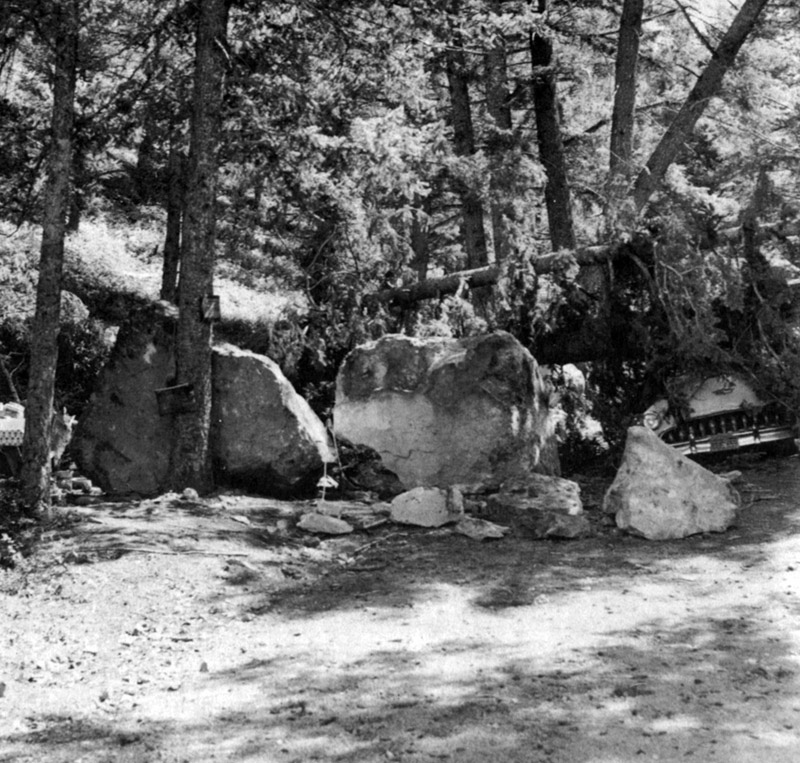
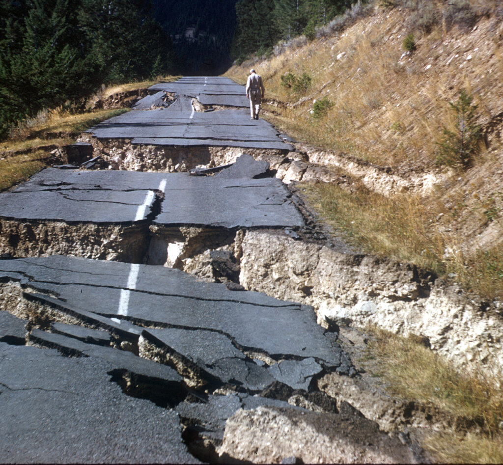
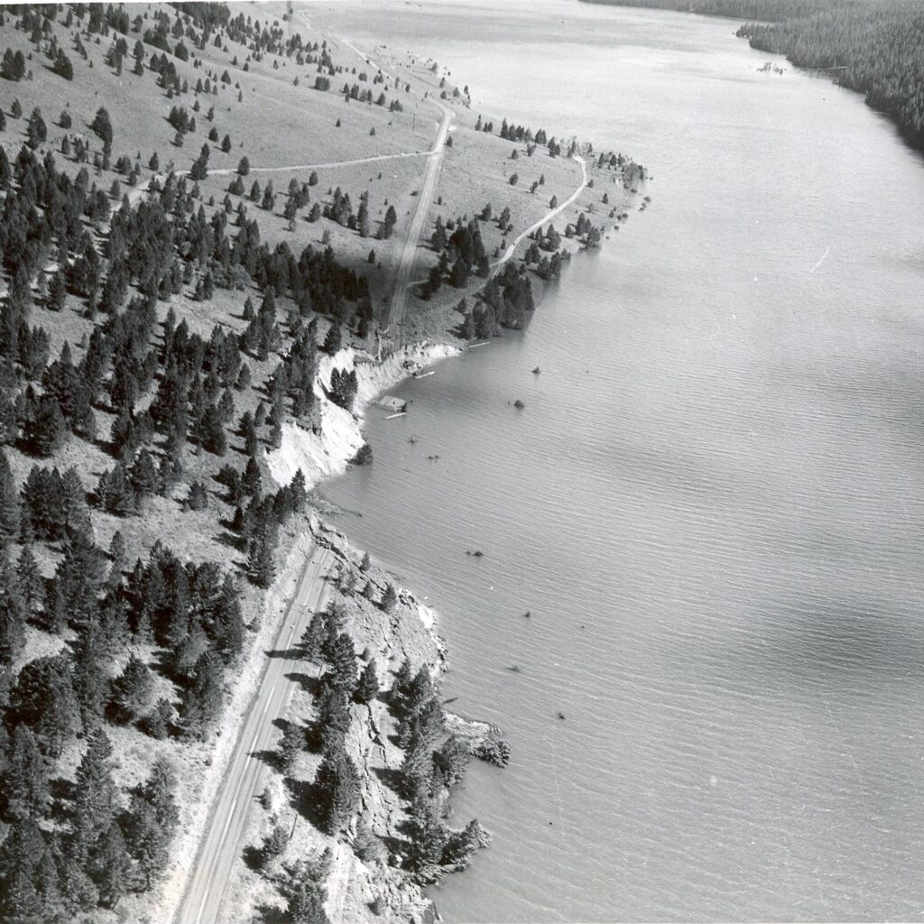
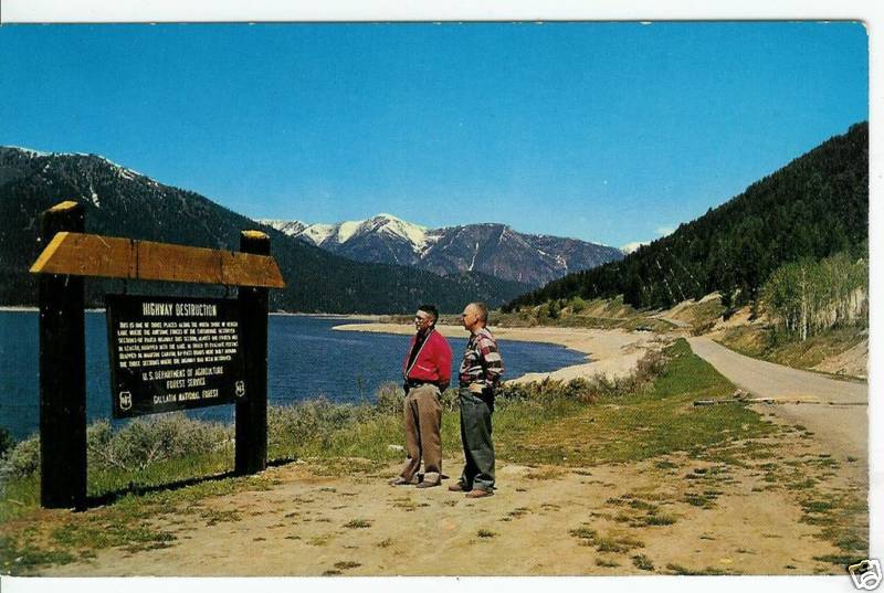
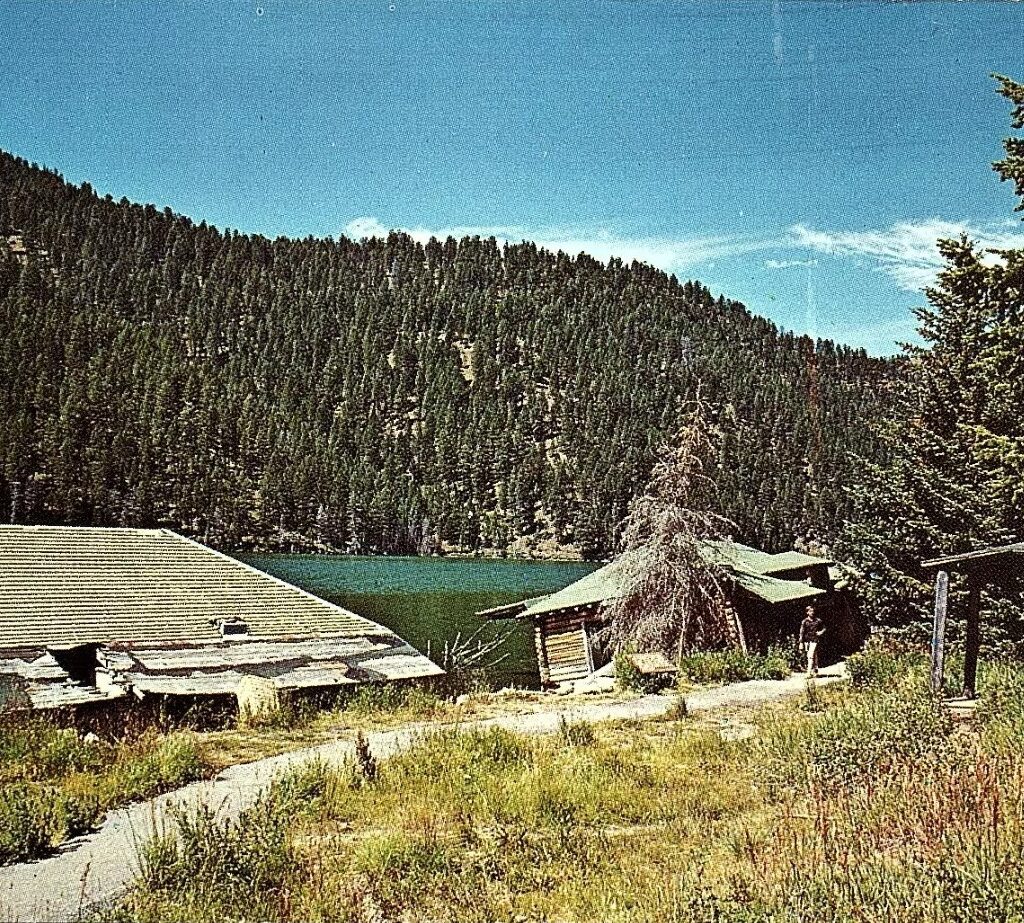
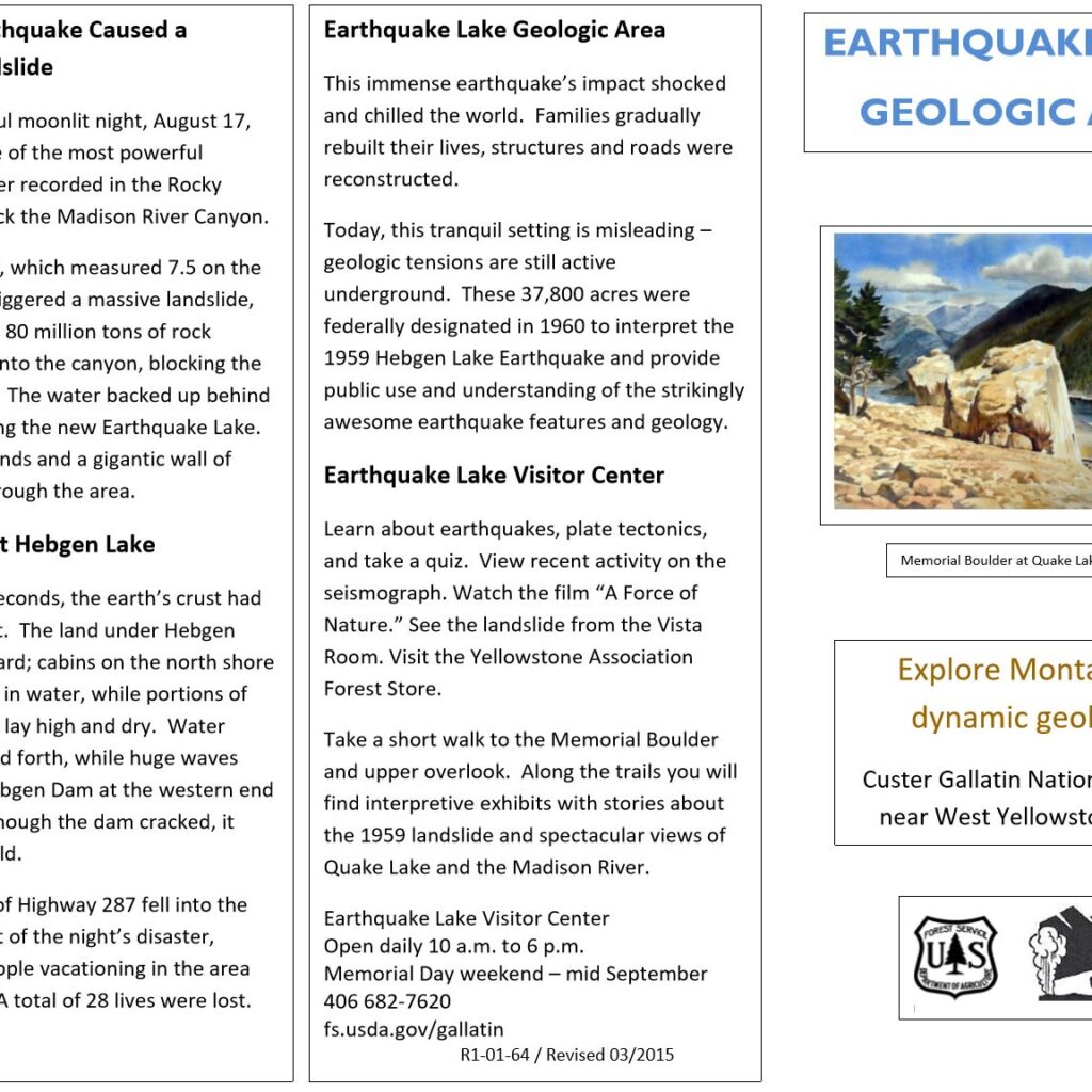
On the night of August 29, 2959, a magnitude 7.5 earthquake struck at 11:37 PM just outside of West Yellowstone, Montana. The effects of the quake caused considerable damage to people and property throughout the region, resulting in 28 deaths and numerous injuries. The huge boulders came crashing down into occupied campsites throughout the region. The waters of Hebgen Lake sloshed from side to side, submerging roads, houses and campgrounds causing people to scurry up the sides of the mountains to escape the onrush of water. Nearby Yellowstone National Park had to be completely evacuated of it’s 18,000 tourists.
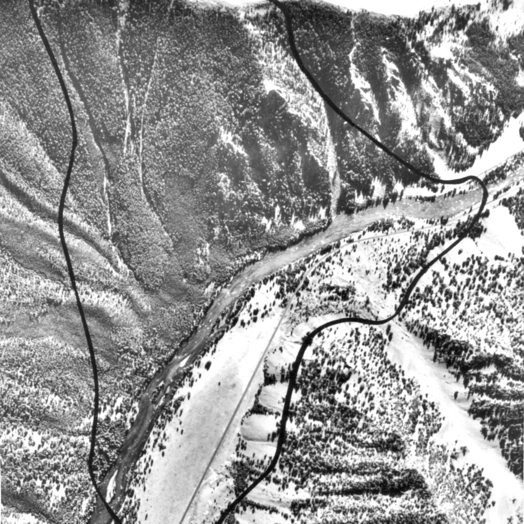
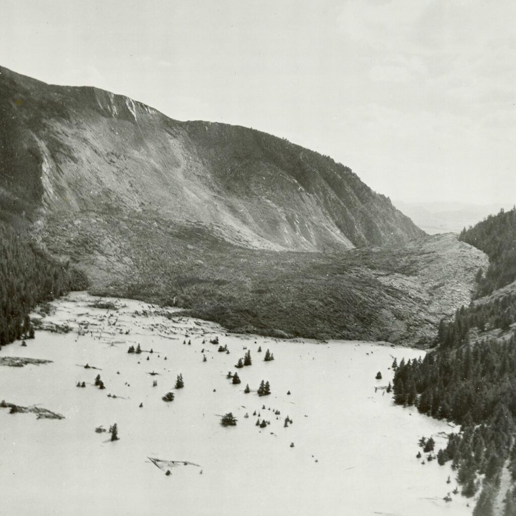
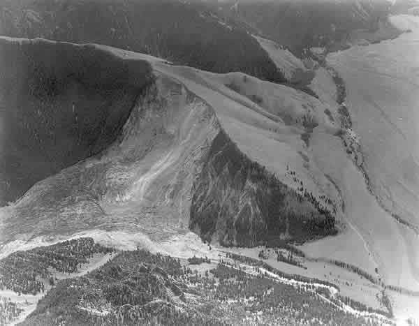
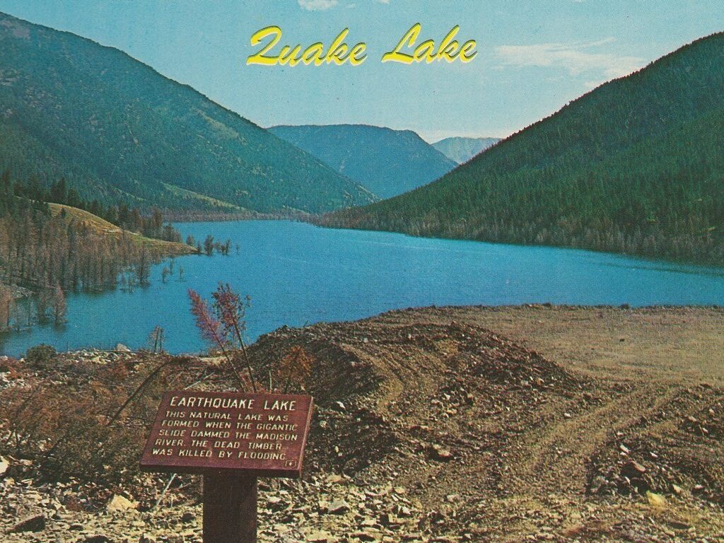
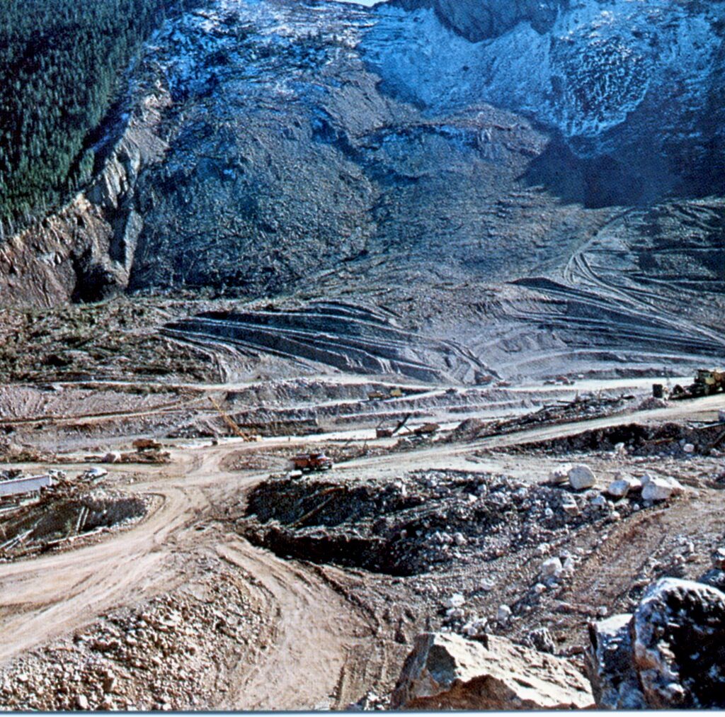
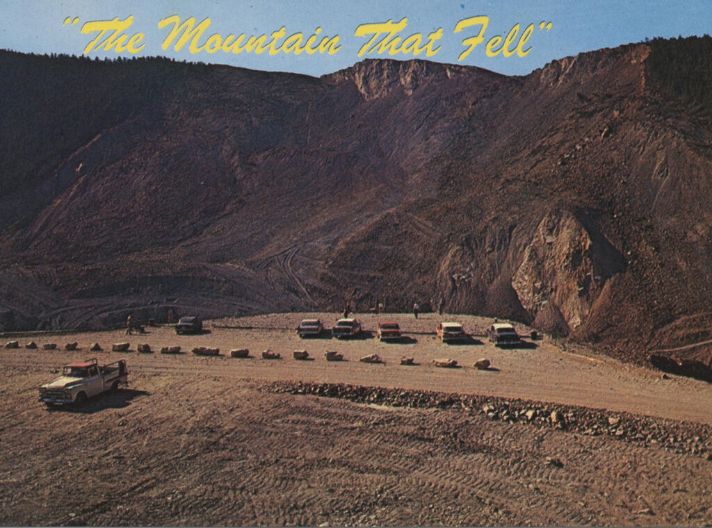
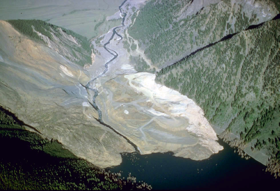
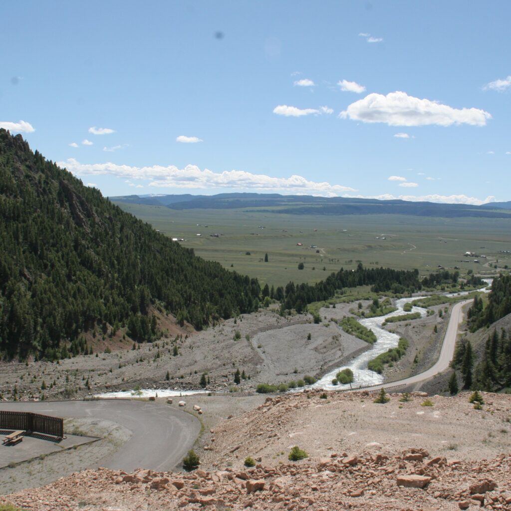
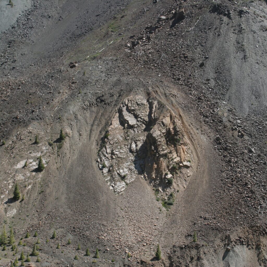
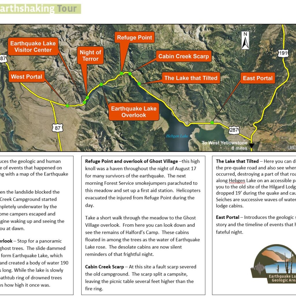
Most significantly, the earthquake caused a massive landslide, the effects of which can still be seen today. The rock from the slide completely blocked the Madison River, forming a new “Earthquake Lake” which immediately began to rise, further complicating rescue efforts and causing the Army Corps of Engineers to begin an emergency effort to build a new spillway to properly contain the building water behind the slide.


During the Old West Trail days
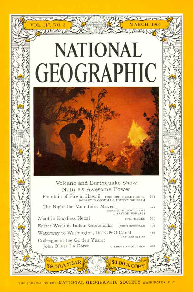
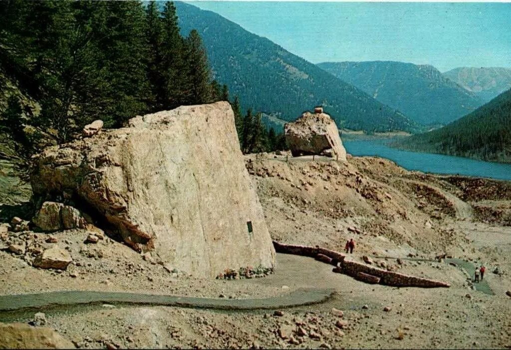
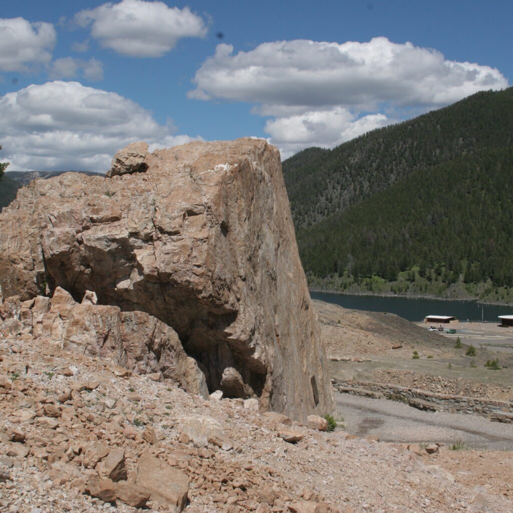
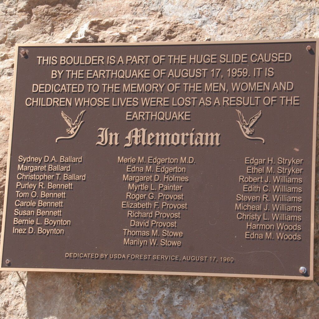
The immediate aftermath of the quake and slide were focused on rescue and recovery but some that were killed and buried in the slide were never found. All of those lost that night were immortalized with their names on the memorial boulder. The Army Corps of Engineers completed the spillway so that threats to those downstream on the Madison River were protected from the water of the new Earthquake Lake. Life and National Geographic magazines did feature articles on the events and aftermath of the earthquake and landslide (both of which can be downloaded on this site).
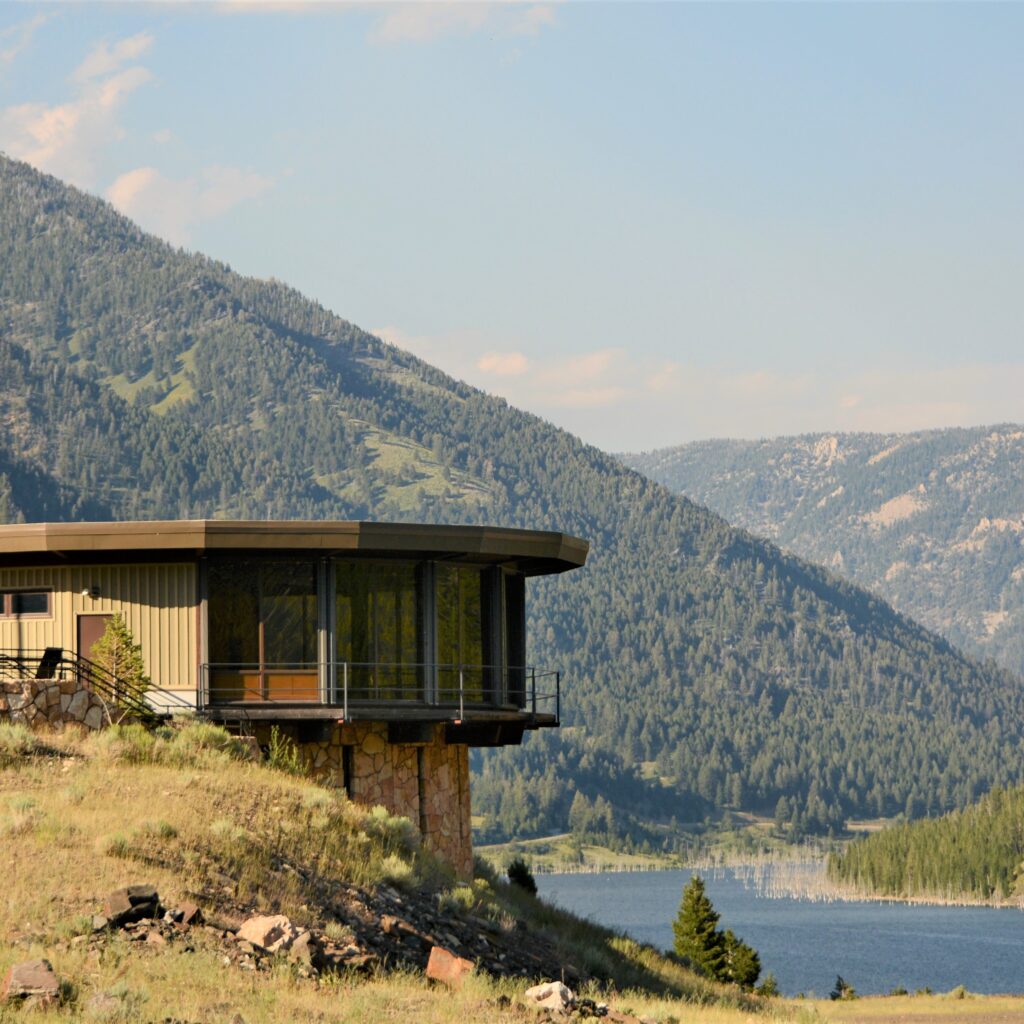
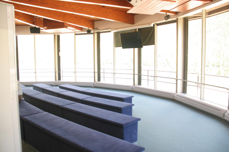
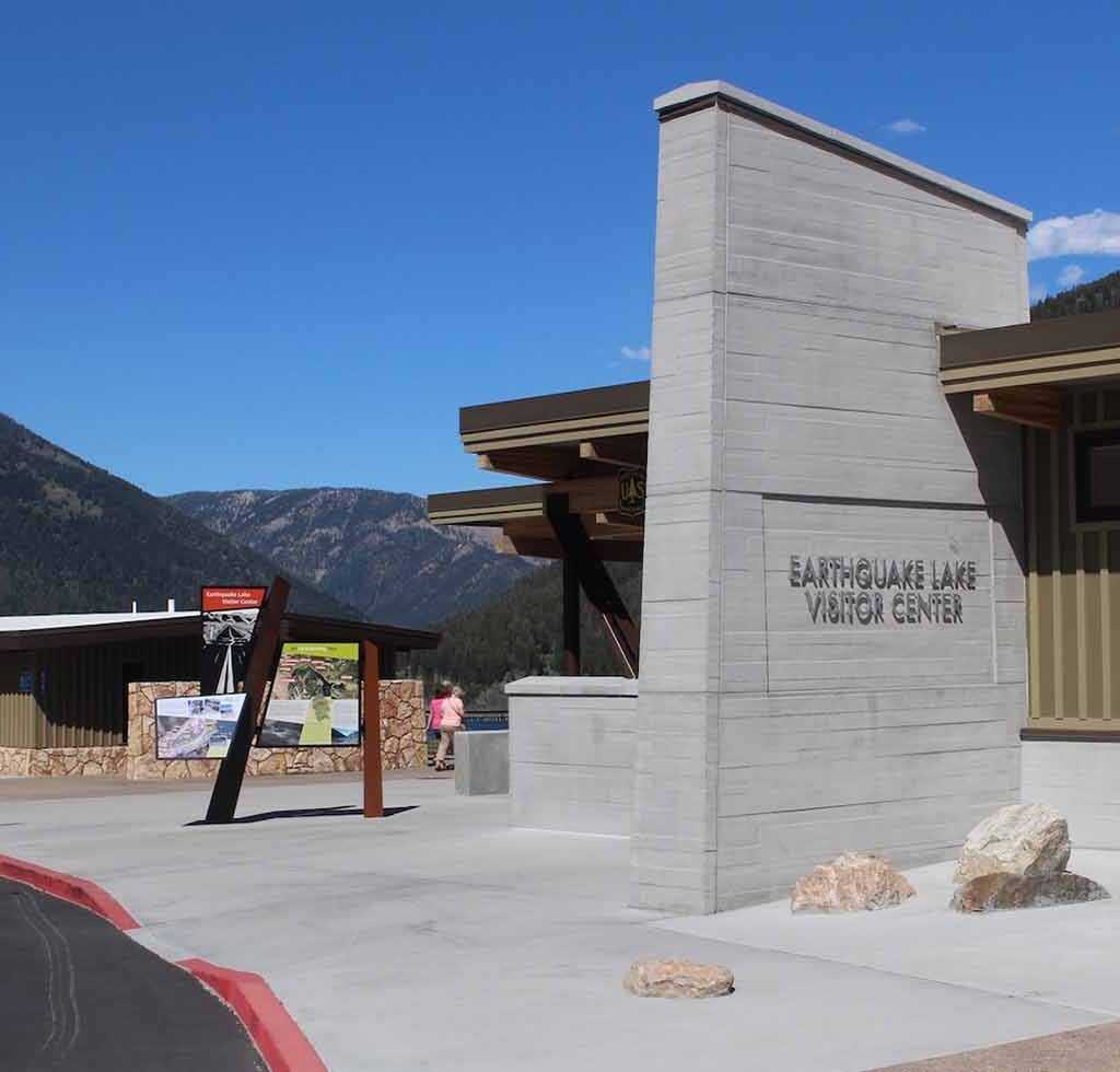
The National Forest Service built a visitor’s center on top of the slide debris field so that the area could be better understood by visitors to the area and so that the area could be monitored for future seismic activity and recovery of the scar on the mountainside.
Today
Earthquake Lake and the Madison River landslide area are incredible destinations for those visiting Yellowstone. Witnessing the scale and profound scars inflicted by nature in an instant is unimaginable. When we visited in the summer of 2012, 53 years after the earthquake, it felt as if the event had occurred just yesterday. It will likely take hundreds of years for the landscape to fully recover from that fateful night in the mountains and canyons of the area.
Since our visit, the visitor center has been replaced and modernized. I plan to update my photographs when I have the chance to revisit. All photographs are mine, except where noted.
Additional links and information
The following are additional links and information about the 1959 earthquake.
https://www.deseret.com/2009/8/16/20335051/scars-linger-from-killer-montana-quake-of-59/
